Assuming uniform bedrock depth across a site in Ajax is a gamble that backfires the moment excavation hits a buried valley or fractured shear zone. The glacial and post-glacial stratigraphy here, shaped by Lake Ontario’s shoreline processes, hides abrupt transitions from dense till to soft lacustrine clay. Seismic tomography (refraction/reflection) replaces guesswork with a continuous velocity model, letting engineers see where competent rock actually lies and where low-velocity anomalies signal weathered pockets. When the target is rippability verification or mapping the overburden-bedrock interface before footing design, the combination of refraction for shallow layering and reflection for deeper structure provides the resolution that borings alone miss. In southeast Durham Region, where infrastructure corridors are tight and surprises delay budgets, this imaging step pays for itself early.
A seismic velocity tomogram converts travel-time picks into a geologically meaningful cross-section, revealing what boreholes interpolate and trenching cannot reach.
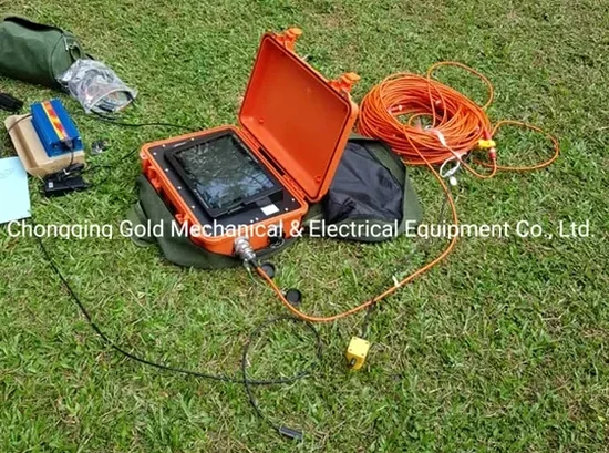
Process and scope
Local ground factors
The Duffins Creek valley and its tributaries incised into the glacial sequence, later backfilling with soft organic silt and loose sand. Seismic refraction alone can misread a low-velocity channel fill as deeper bedrock, a pitfall known as the hidden-layer or velocity-inversion problem. Reflection data resolves this blind spot because impedance boundaries remain detectable even when velocity does not increase monotonically with depth. In the southern reaches of Ajax, near the lakeshore bluffs, wave trains refracting along the slope face can stack energy that mimics a phantom refractor. Our processing workflow applies delay-time analysis and reciprocal travel-time checks to flag such artefacts before they reach the engineering report. When the question is whether a buried concrete structure or boulder field exists—common where former creek crossings were filled during 20th-century development—reflection diffraction patterns offer a direct target signature that velocity-only tomography cannot provide.
Reference standards
ASTM D5777-18 Standard Guide for Using the Seismic Refraction Method, ASTM D7128-18 Standard Guide for Using the Seismic-Reflection Method, NBCC 2020 seismic provisions (Vs30 site class from shear-wave velocity)
Other technical services
Refraction micro-tomography for rippability
Short spreads with 2 m geophone spacing image the upper 8–12 m, classifying materials by seismic velocity for heavy-equipment selection. Rippability charts tied to D8–D10 dozer performance help contractors bid excavation accurately.
Combined refraction-reflection bedrock mapping
Dual-mode acquisition on the same spread: first-arrival refraction for overburden velocity, plus shallow CMP reflection for the bedrock reflector. Depth-to-bedrock contours are delivered with uncertainty bounds calibrated to any available borehole control.
Cross-hole and downhole shear-wave tomography
Borehole-based seismic for sites where surface arrays are impractical. Triggered source in one hole, receivers in adjacent holes or at depth, yielding a high-resolution Vs profile for NBCC site classification and liquefaction triggering analysis.
Typical parameters
Questions and answers
How deep can seismic refraction see in the clay-rich soils of Ajax?
Depth of penetration depends on source energy and spread length, not directly on soil type. With a sledgehammer and 115 m spread, refracted arrivals typically reach 20–25 m in the glacial till and clay of Ajax. Where bedrock is deeper than 30 m, we switch to a weight-drop source or incorporate reflection processing to image the contact. The limiting factor is signal-to-noise ratio, which can drop in saturated, highly attenuating clay; we then stack multiple shots to improve clarity.
What does seismic tomography cost for a typical residential or commercial lot in Ajax?
Budgets for seismic tomography in Ajax generally fall between CA$4,000 and CA$7,910, depending on line length, number of spreads, and whether reflection processing is added to the refraction survey. A single 70-metre refraction line for house footings sits at the lower end; a multi-line commercial survey with combined reflection and a rippability report approaches the upper bound. Every quote includes mobilization within Durham Region, raw shot gathers, processed tomograms, and a signed engineering interpretation.
Can seismic reflection detect underground utilities or voids before excavation?
Shallow seismic reflection can image voids and buried structures when the target diameter exceeds roughly one-quarter of the dominant wavelength. In Ajax’s silty sand overburden, a 100–200 Hz dominant frequency yields a resolution of about 0.5–1.0 m, sufficient for large-diameter culverts, abandoned foundations, or sinkhole-prone cavities. For smaller utilities, we recommend complementary ground-penetrating radar or electromagnetic scanning, which we coordinate as part of the site investigation. More info.